
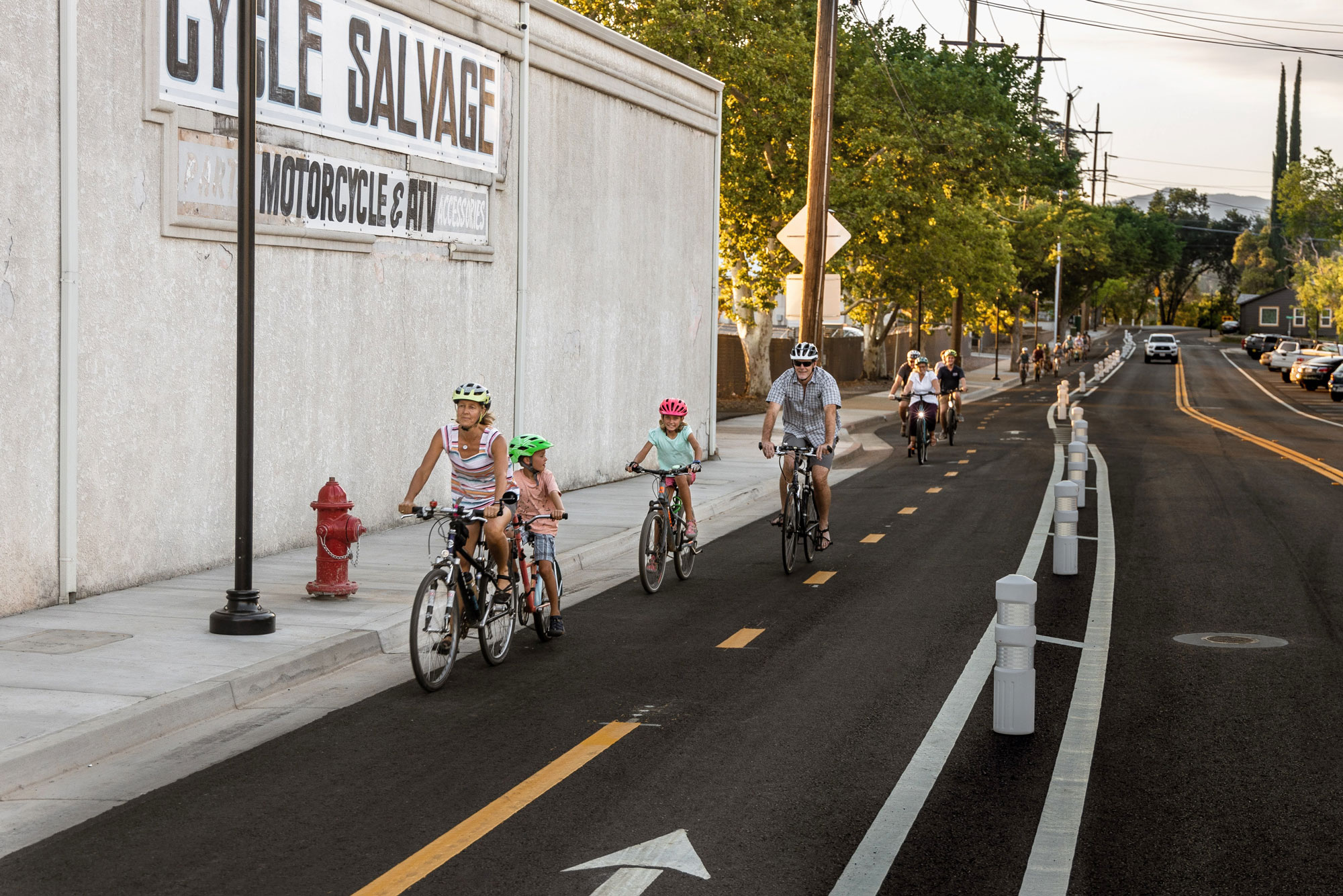
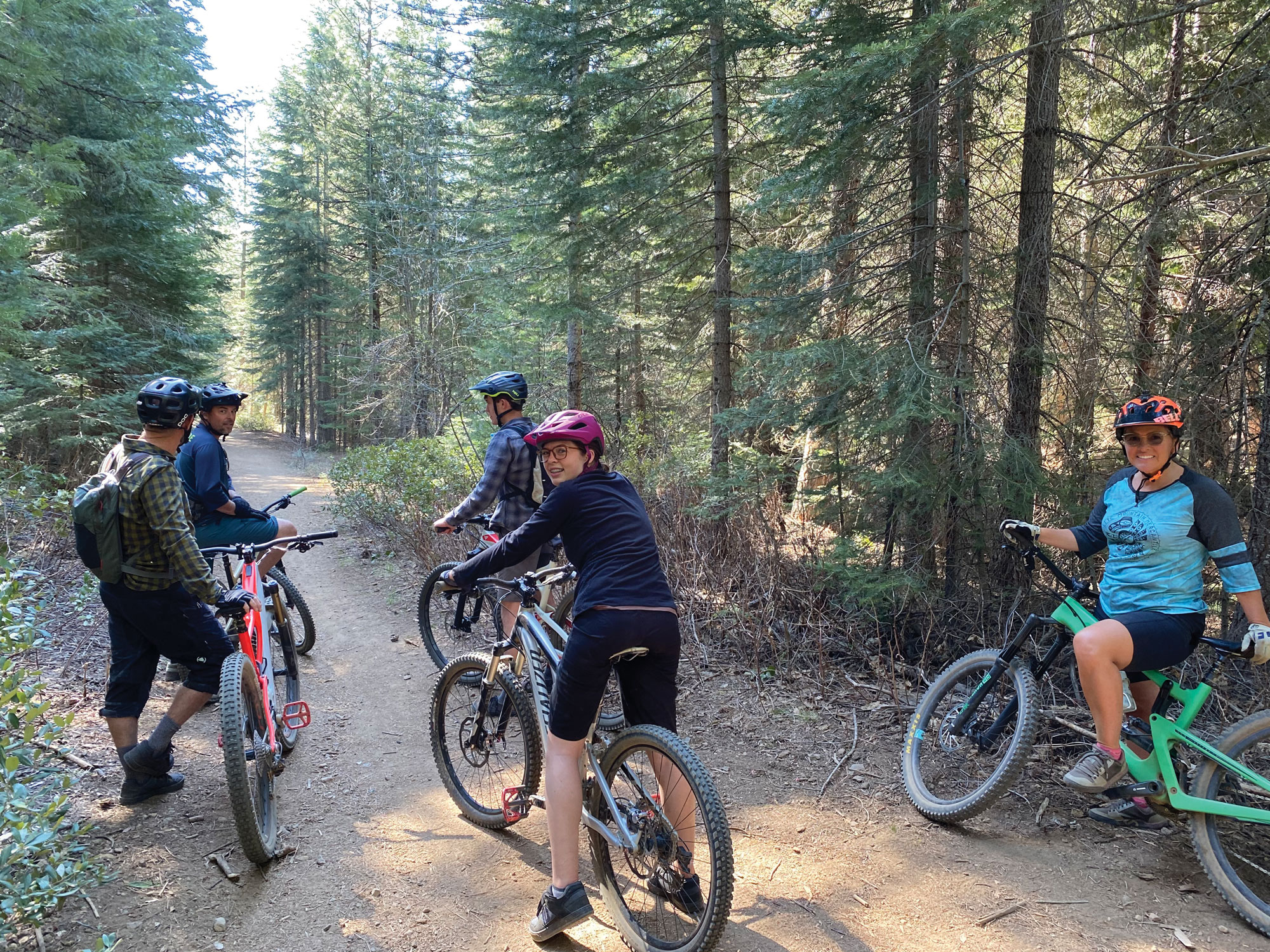
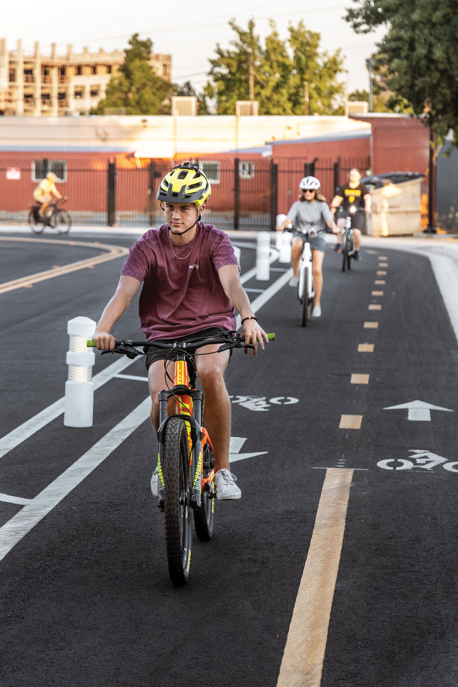
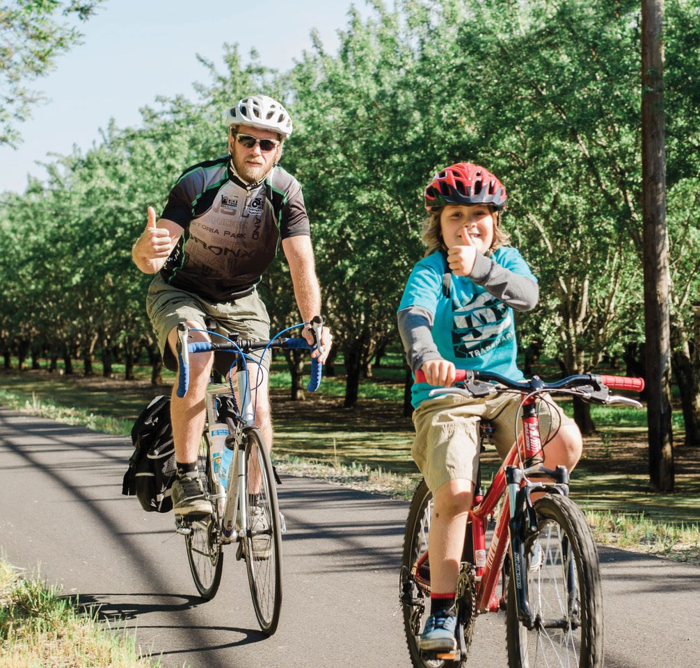
Biking in the North State is a growing passion for many families, with new trails popping up throughout the area. Starting your kids young with this healthy, fun family activity can help them grow up to become strong young adults. Biking can become a lifelong habit, as more people bike to work, jump on a bike to do shopping and take to the mountain trails on their time off.
Keep your eyes on North State Parent magazine for information on spring and summer bike events and Bike To School Days in the fall.
Tips for successful family bike rides
• Bring snacks or a picnic to enjoy along the route.
• Ride to a destination, such as a playground, friend’s house or school.
• Invite friends. Kids often forget about the effort of riding when they have a distraction of riding with friends.
• Set a goal to have fun and explore. If you complete a ride or rack up big mileage, that’s just a bonus!
Teaching your child how to ride a bike can be a wonderful memory you both share over the years. REI has this advice:
• Reinforce success to help the child build confidence.
• Be patient and don’t try to force the process: Your child may not be pedaling right away but with continued practice, they’ll get it. Take a break and come back to it.
• Pay attention to signs you should stop and rest.
• Remember that children learn differently and may respond to some methods better than others. Learn what works and adapt as needed.
• Above all, keep it fun.
For more suggestions, check out the REI video, “How To Teach Your Kid To Ride A Bike.” It also includes good information on fitting bike helmets.
http://www.rei.com/learn/expert-advice/teach-child-to-ride-a-bike.html
Beginner And Family-Friendly Trails
Maps of the following trails can be found at healthyshasta.org/maps/
Shasta County
Arboretum Loop Trail and Eagle Loop; Redding. 1.2-mile Arboretum Loop and 1-mile Eagle Loop; mostly paved flat trails with views of the Sacramento River and the Sundial Bridge. Viewpoints offer places to observe wildlife, including resident bald eagles on the Eagle Loop. Map: healthyshasta.org/maps
Anderson River Park; Anderson. Route 1 is 1.25 miles of easy, paved trail. Route 2 combines 1.5 miles of moderate paved, gravel, dirt and grassy trail. Route 3 is 2.75 miles of moderate paved, gravel, dirt and grassy trail. Route 4 is an easy .75-mile dirt and gravel trail. Park includes a playground. Map and Info: ci.anderson.ca.us/andersonca/departments/community_services1/uploads/Anderson_Walks_Guide_Web1.pdf
Churn Creek Greenway, Redding McConnell Foundation Trails; Redding. 3.5 miles of compacted gravel trails; easily bikeable with wider tires and wide stroller wheels. Mostly flat with some rolling hills that add to the fun and adventure. Trails lead to Minder Park Playground off Minder Drive in Redding. Map: http://www.mcconnellfoundation.org/trails/
Churn Creek Trails; Redding. Off Tidmore Lane in Redding and accessible from many neighborhood spots, these are part of open space preserved by the McConnell Foundation. These four miles of meandering trails with green meadows and spring wildflowers are available to cyclists and hikers. Make sure you stop at the halfway point for play at Minder Park’s play structure or to enjoy a picnic. Drinking fountains available at the park. These trails link to the Lema Ranch trails, which are only open to walkers.
Clover Creek Preserve; Redding. 1.5-mile flat paved loop. Views are wide and make it easy to keep an eye on children biking ahead. Additional dirt trails lead to a pond and add to the nature and wildlife viewing experience.
The Great Shasta Rail Trail; Burney. 40 miles of open trail sections on this planned 80-mile trail linking Burney and McCloud. Red cinder trail compacted in the center but be careful of loose sides. A more advanced family adventure; prepare for wilderness conditions with extra food and water. Map and Info: greatshastarailtrail.org
Hornbeck trailhead; Redding. Off Quartz Hill Road, this is a relatively smooth trail with a few short climbs and descents. Follow the green arrows for a six-mile beginner mountain bike route, or simply go out and come back when you are ready. How many smiley faces painted on rocks can you find? Did you find the geocache? This area was largely spared by the 2018 Carr Fire.
Sacramento River Trail; Redding. 11 miles of paved, mostly flat trail with some rolling hills. Access a section of the trail near the Middle Creek Trail intersection and find river views, picnic spots, a Peace Labyrinth of painted rocks (have fun adding to it!), and playground stops including Amethyst Park, Jump River, and Caldwell Junior Bike Park.Map and Info: http://www.traillink.com/trail/sacramento-river-trail/
Swasey Flatlands just west of Redding off Swasey Drive is a network of mountain bike, hiking, and equestrian trails on BLM land. Park at the first parking lot and take the ditch trail (Mule TH Connect) out of the southwest end of the parking lot. Stop at the creek crossing and look for frogs and count how many different wildflowers you can see. On your way back, consider trying the short Learner Flow Trail back to the parking lot. If your family is looking for a longer ride, simply follow the green arrows out of the first parking lot on the Mule TH Connect trail. The route is six miles of relatively flat dirt trails.
Northeast Crossing Trail; Redding. This is one of Redding’s newest trails. Although short, it has many options for linking to other trails or simply riding through the neighborhood. Start from Highland Park at 555 Mill Valley Parkway. Ride along quiet Mill Valley Parkway north to the trail head. Enter the paved trail that meanders through native oak woodlands and a bridge that crosses Boulder Creek. The trail is mostly flat and then starts a short climb to connect to the paved path along Highway 299 that ends at College View Drive. The route is about three miles round trip. This area also connects to the Sacramento River Trail by riding south from the park on Mission De Oro to Hilltop Drive and Browning Street. Head west and cross Hilltop Drive. Continue west and then go south behind retail stores and locate the View Trail off to the right which connects to the Sacramento River Trail for more riding, playground stops, and Turtle Bay Exploration Park.
Diestelhorst to Downtown City Trail; Redding.
This is a safe and inviting one-mile route for walking, riding, and rolling between downtown and the Sacramento River Trail. It’s a great opportunity for kids of all ages to safely ride with the family along the beautiful river trail and into downtown Redding for burgers and ice cream. Coming soon on this route: The Shasta Bike Depot.
This trail connection for people biking and walking is part of the build-out of the five-mile Downtown Connector Loop Trail. It’s a welcome and essential part of Redding’s downtown revitalization, with the goal of building a connected city, building civic pride and reimagining Redding as a Trail Town.
The trail begins with a two-way protected bikeway and sidewalks that start on Division Street at the corner of California Street. It continues along Center Street, passing under Eureka Way. At Riverside Drive the trail continues to the west under the train trestle.
At this point, there are two options for crossing Court Street to get to the Sacramento River Trail: A multi-use path on the east side of Court Street passes along the river under the bridge. Alternately, you can bike across Court Street at the new crossing with a rapid-flashing beacon for safety. For maps & more information: Shastalivingstreets.org
 Local Bike Parks
These provide a fun place for riders to improve their bike riding skills. Riders can gain experience with turns and switchbacks, jumps and ramps, and work on balance by riding over and on obstacles. All of these bike parks are completed, and some parks have plans to expand and build additional features.
- Bidwell Park offers flat, easy, paved riding with no cars, to flat, longer rides on paved roads that might share the road with cars, to mountain bike trails for older kids and adults. Upper Bidwell Park, and Lower Bidwell Park allow access for many to ride through the park to other parks and nearby neighborhoods. There are mountain biking trails in Upper Park. Wildwood Park in Chico offers 2 pump tracks (beginner and intermediate/advanced) for enjoyment.
- Caldwell Park Jr. Bike Park in Redding. Can be easily accessed off the Sacramento River Trail or park in the parking lot on Quartz Hill Road and Market Street.
- Humboldt Avenue Skate Park in Chico: allows BMX bikes (as well as skateboards and scooters)
- Mt Shasta Bike Park in Shastice Park; 800 Rockfellow Drive, adjacent to Mt. Shasta High School.
- Trinity Bike Park in Weaverville, in Lowden Park off Lowden Lane and Park Avenue.
After your family tries these rides, you may find yourself wanting more! The Bigfoot Mountain Bike Challenge offers maps and descriptions of several rides that are for beginners, intermediate, and advanced riders. http://www.bigfootmtbchallenge.com
The annual Wildflower Century ride in Chico offers special routes for youth.
Posted in: Out & About

Comment Policy: All viewpoints are welcome, but comments should remain relevant. Personal attacks, profanity, and aggressive behavior are not allowed. No spam, advertising, or promoting of products/services. Please, only use your real name and limit the amount of links submitted in your comment.
You Might Also Like...

Learning to THRIVE at Alua’s Thrive Bar
Visitors to Alua’s Thrive Bar in Mount Shasta are met at the entrance with a beautiful quote on the wall from Maya Angelou – “My mission in life is not […]

River Dancers — Rafting on the Klamath River for a Memorable Family Adventure
River Dancers Whitewater Rafting Company, headquartered in Siskiyou County, is the go-to place for rafting adventures with professional guides on the Klamath River. From short splashes to overnight excursions, most […]


In Wonder Of The Natural World
When I was a new parent, I remember the sense of wonder in my children’s’ eyes as they learned about the natural world around them. A budding flower with the […]

